Earthtone specializes in rapidly developing custom hardware and software solutions that utilize single board computers (SBC’s) with a range of sensors, servos, and data communication protocols. Contact us if you are interested in one of the solutions below, or would be looking to develop something new.
Automated Surface Marking (For utilities, pavement testing, or patching)
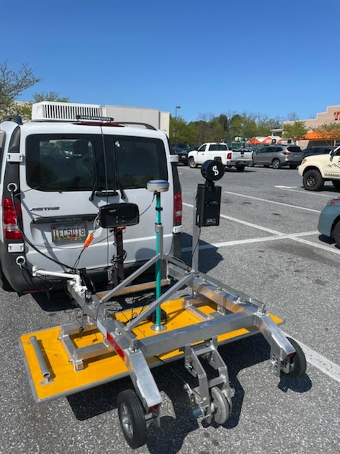
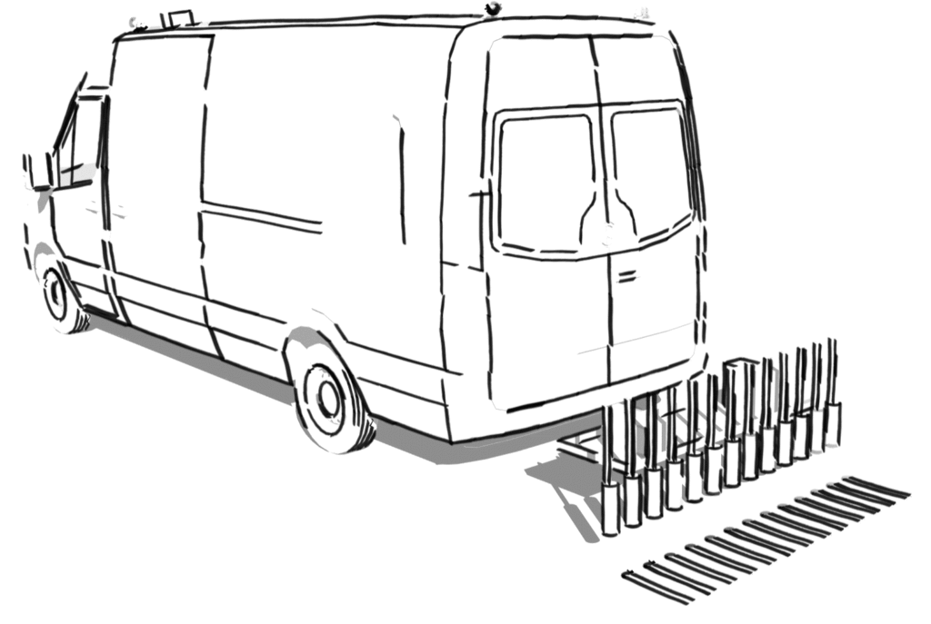
One example is a vehicle based automated marking system. Polygons that need to be marked in the field can be defined ahead of time from roadway plans or geospatial software. This system calculates the location of each of the thirteen painters in real time with survey grade (sub centimeter) precision. Each painter is separately controlled and automatically turns on when it is within a predefined polygon.
Benefits of Automated Surface Marking
- Increased safety. No need to get out of the vehicle as painting is done while moving. As a result, there is no direct exposure to traffic.
- Survey Grade Accuracy: You know exactly where the polygons will be filled, no confusion or mismarking.
- Speed : regardless of the number and complexity of polygons they will be drawn in one pass of the painter. Projects that would have taken hours to accurately mark by hand now take minutes.
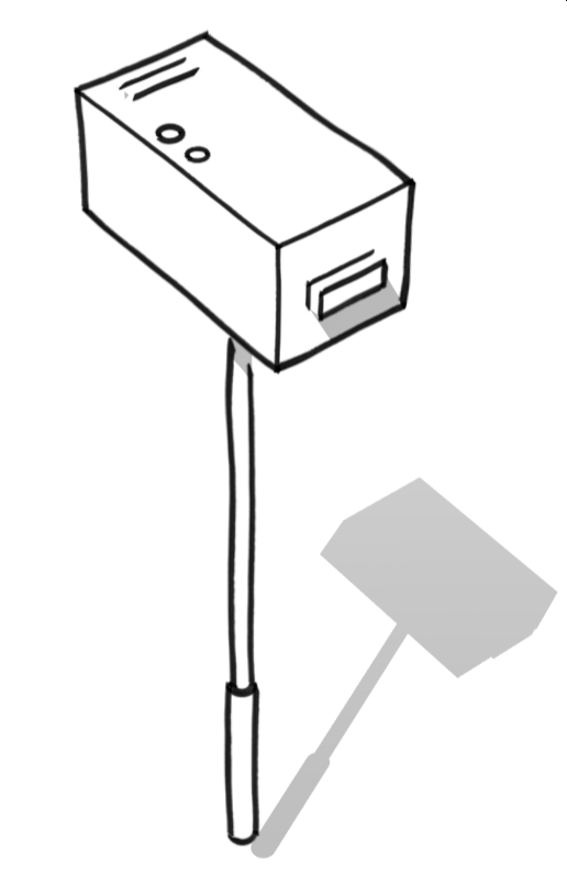
Borehole void mapping/lidar tool
To measure the volume of voids encountered while drilling or coring earthtone has developed a 2.5 inch diameter self-contained lidar and photo documentation tool. This tool can be lowered into a bore / core hole and will take continuous lidar measurements and infrared photos of the void space encountered. Using a combination of lidar sensors, magnetometer and accelerometer readings, the tool generates a 3d point cloud of the void space.
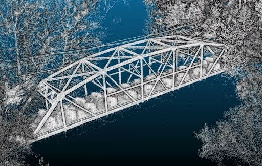
Vehicle and UAV based Lidar
Earthtone is a licensed UAV operator who routinely performs photogrammetry processing and direct lidar measurements of sites. These models can be delivered via an internally developed online platform called expressway. This platform delivers point cloud products embedded with pdf’s and 2d GIS projects that clearly communicate the field conditions. Please contact us for a demo of these services.